Hjem / Vejrnyheder /

Breakfast Brief: East U.S. storms, tropical wave near Fla.

09.00
2. august 2024

Breakfast Brief
East U.S. storms, tropical wave near Fla.

Showers and thunderstorms focus across the Mid-Atlantic, a large tropical wave pushes closer to Florida and extreme heat plagues the South and West.

A low-pressure system will move east over the Great Lakes today, sparking showers and thunderstorms across much of the northeastern U.S. A few isolated storms may become particularly strong, with damaging winds and heavy, flooding rain, mainly in the Ohio Valley, Mid-Atlantic, and eastern Deep South. Keep the WeatherRadar close to pinpoint storm development and movement.

Did you know?

On this day in 2012, a microburst hit Pensacola, Florida, producing strong wind gusts and heavy rain, leading to flash flooding and damage to structures and vehicles. The event required immediate emergency response and cleanup efforts.

The WeatherRadar shows showers, general showers, and thunderstorms associated with an east-moving low pressure system on Friday.

A summer heatwave will persist across portions of the South and West with feels like temperatures in the 90s and 100s across the Mid-South. Daily high-temperature records are likely today across the Northwest's Intermountain region, with highs in the lower 100s for places like Boise, Idaho, and Spokane, Wash.

Tropical update:

A large tropical wave associated with disorganized showers and thunderstorms is pushing northeast across the northern Caribbean, bringing heavy downpours and gusty conditions to the Bahamas and Greater Antilles. As the system continues to move northeast, environmental conditions will become more favorable for development, and a tropical depression could form by the weekend near Florida.

Hurricane Carlotta is moving west across the East Pacific and is expected to continue strengthening as it heads deeper into the ocean. No significant impacts to land are anticipated.

The news we're covering today:

  • Showers and thunderstorms across the eastern half of the country
  • Tropical wave moves closer to Florida

Did you miss these?

Driest conditions in over a decadeExtreme drough in West Virginia
Challenging wildfire seasonLæs også
Destructive storms for Plains, MidwestLæs også

App news & updates

With dozens of active fires across the West and Rockies, many areas are experiencing deteriorated air quality due to haze and smoke. Use Weather & Radar's air quality tool to check the air quality in your area.

Federico Di Catarina
Læs også
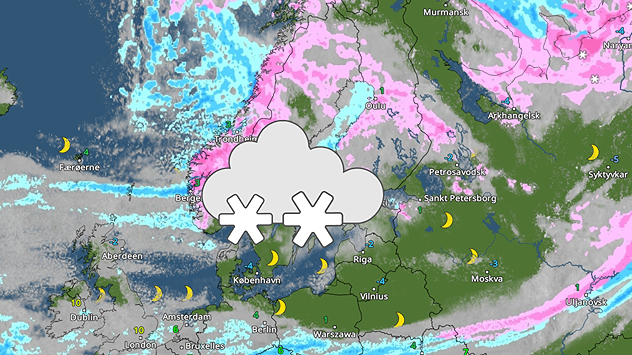
Vejrradar for torsdag med kraftige snefald i Skandinavien
onsdag den 12. november 2025

Masser af nysne

Kraftige snefald i Skandinavien
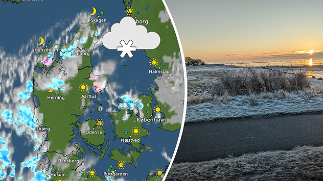
Spli-billede. VejrRadarkort til venstre viser en anelse sne. Til højre ses en frosklat morgen, med meget lidt sne.
mandag den 17. november 2025

Mere er på vej

Første sne er faldet i Danmark
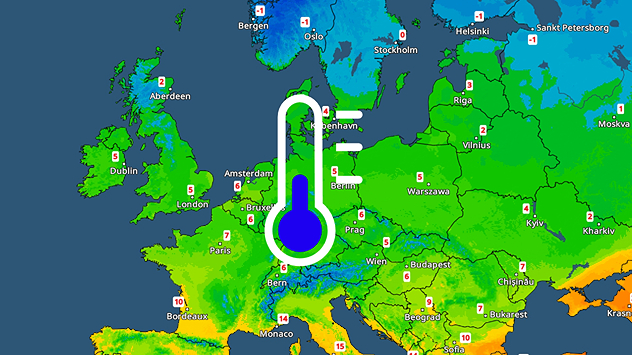
Temperaturkort over Europa med køligt Centraleuropa og frost i nord.
mandag den 17. november 2025

Polarluften kommer

Kold uge i store dele af Europa
Alle artikler
Vejr & Radar

Vejr & Radar er også tilgængelig på

Google Play StoreApp Store

Virksomhed

Kontakt Fortrolighedspolitik Impressum Tilgængelighedserklæring

Tjenester

Uploader

Socials

facebookyouTube