Hjem / Vejrnyheder /

Breakfast Brief: Tropical Atlantic awakens, storms continue

09.00
1. august 2024

Breakfast Brief
Tropical wave toward Fla., East storms

Strong thunderstorms target the Great Lakes and Ohio Valley today while heat escalates across the West and a large tropical wave eyes the southeast U.S.

A low pressure system will push east across the Midwest and Great Lakes today, sparking several rounds of showers and thunderstorms across the southern Great Lakes and Ohio Valley. Some of these storms could be strong to severe, bringing damaging gusts, frequent lightning, and locally heavy flooding. Use the WeatherRadar to pinpoint the thunderstorm focus areas.

Did you know?

On this day in 1985, a rare and deadly flash flood event occurred in Cheyenne, Wyoming. In just three hours, the city received six inches of rain, causing Dry Creek to overflow and flood much of the city. This deluge led to 12 fatalities and extensive damage to infrastructure, homes, and businesses. It remains one of the most significant weather events in the region's history.

The WeatherRadar shows clusters of showers and thunderstorms, some severe, affecting portions of the Midwest Wednesday morning (left) and evening (right).

Intense and widespread heat has set up across portions of the West as a high-pressure system firmly sets up across the region. Temperatures are expected to be 10 to 15 degrees above normal from the Northwest through the Northern High Plains, and multiple record-high temperatures are expected.

Hot and dry conditions will continue to maintain fire weather concerns across the West. Meanwhile, winds will also increase across the Intermountain West on Friday, exacerbating wildfire growth.

Tropical update:

A large tropical wave, currently over the northeastern Caribbean, will move northwest into an area more favorable for development. A tropical depression or storm could form late this workweek or weekend near the Bahamas or Florida. We will continue to provide coverage of this system on these Breakfast Briefs and News Stream.

The news we're covering today:

  • Heatwave expands to the West
  • Tropical wave nears the Caribbean.

Did you miss these?

Destructive storms for Plains, Midwestlæs mere
Temperatures rise 20 degrees at 2 am!Fascinating weather
Tropical wave on the movelæs mere

App news & updates

The WindRadar for Android Auto is under maintenance and will become operational next week. Please continue to enjoy the WindRadar on all other devices.

Federico Di Catarina
Læs også
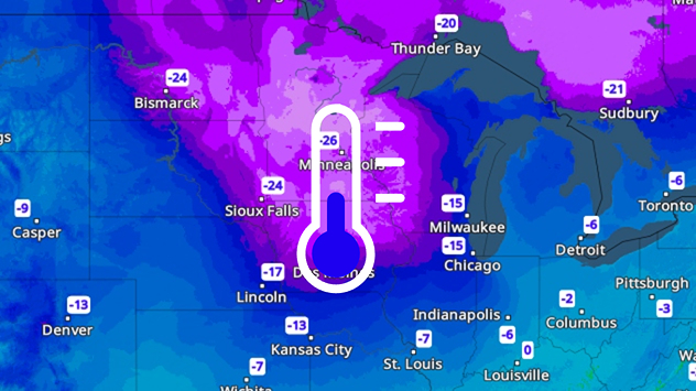
Vejrkort med kraftige minusgrader i det midtvestlige USA. Den koldeste zone ligger mellem Minneapolis og Bismarck.
tirsdag den 2. december 2025

Knapt minus 30 grader

Polarkulde indtager USA
mandag den 17. november 2025

vejr & radar home

Her er din White Week rabat
Sneklædt skov med snedækkede træer og sti under grå himmel.
fredag den 21. november 2025

Fotogalleri

Vintervejr i store dele af Europa
Alle artikler
Vejr & Radar

Vejr & Radar er også tilgængelig på

Google Play StoreApp Store

Virksomhed

Kontakt Fortrolighedspolitik Impressum Tilgængelighedserklæring

Tjenester

Uploader

Socials

facebookyouTube